Showing posts with label Salcombe. Show all posts

Wednesday, 3 September 2014

Salcombe to Slapton


Salcombe to Slapton - Wednesday 3rd September 2014

Path Facts - Length: 12.9 miles, Ascent: 2106 feet
 
Breakfast 8am. Clear and sunny. Off to catch the 9am ferry. £1.50 each.


Very quick & efficient. Walking by 9.10 am.


Saw two other walkers early on then no-one for miles. There's fairly epic rugged coast...


 ...until the Coast Watch station at Prawle Point where the path drops down to sea level.


There were very limited stopping places today so we went inland at this point up to East Prawle... and I emphasise "up". Had lunch about 12. Seemed to take forever to get there and back to the path. The official path distance for today is about 13 but I think we added a good few miles onto this with detours.

After descending from the lunch stop the path stayed pretty level with a  few minor undulations until the lighthouse at Start Point.


The weather had closed in a bit by this point and the visibility wasn't great. So the lighthouse was active in terms of both the light and the horn sounding. Could just about make out Hallsands & Beesands further up the coast.

There's a handy overall distance sign at Start Point.


Crossed a shingly beach at Hallsands. Hard going. Stopped for Cream tea at Beesands. Paragliders and eels. Pardon?

 
Felt like a long day by this point and still a couple of miles to go. Stopped briefly at Torcross to look at the war memorial where 749 US personnel died during preparations for D-Day training.


After the long flat walk along Slapton Sands there was another inland detour uphill into Slapton. Arrived just gone 6pm. Long day. On recalculating I think today was at least 14 miles not including the East Prawle excursion.

Nice quirky B&B run by fantastic lady. Good local pub a few minutes walk away.


Info

Accommodation - Old Walls


Location *** nice place but bit of a detour from the path

Room **** attic with view

Facilities ****

Noise *****

Food ****

Ambience ****

Price ** £70 for the room.


Food – The Queen's Arms


Quality ****

Price ***

Beer - Otter

Tuesday, 2 September 2014

Hope Cove to Salcombe


Hope Cove to Salcombe - Tuesday 2nd September 2014

Path Facts - Length: 8 miles, Ascent: 1381 feet

Awakened by squawking seagulls at about 6.30am! Today was one of those days where logistics necessitate an easy one so that the next few days have reasonable starting and stopping points and a do-able distance.

Breakfast 8.30am. Didn't get going until 9.45am. Weather much improved and Hope Cove looked very nice in the sun.


Heading up to Bolt Tail there are some good views back to Hope Cove


The path levels off for a bit. Lots of dog walkers. Views inland to the high points of Dartmoor.


 A rare route finding problem near Bolt Head. I think we went along a bit of an inland detour before arriving at Sharp Tor which is quite impressive. There is a mixture of Dartmoor and coast together which makes for a rugged and attractive landscape. Similar to Valley of Rocks near Lynmouth many moons ago.


Also good views back and on to Salcombe from near this point.


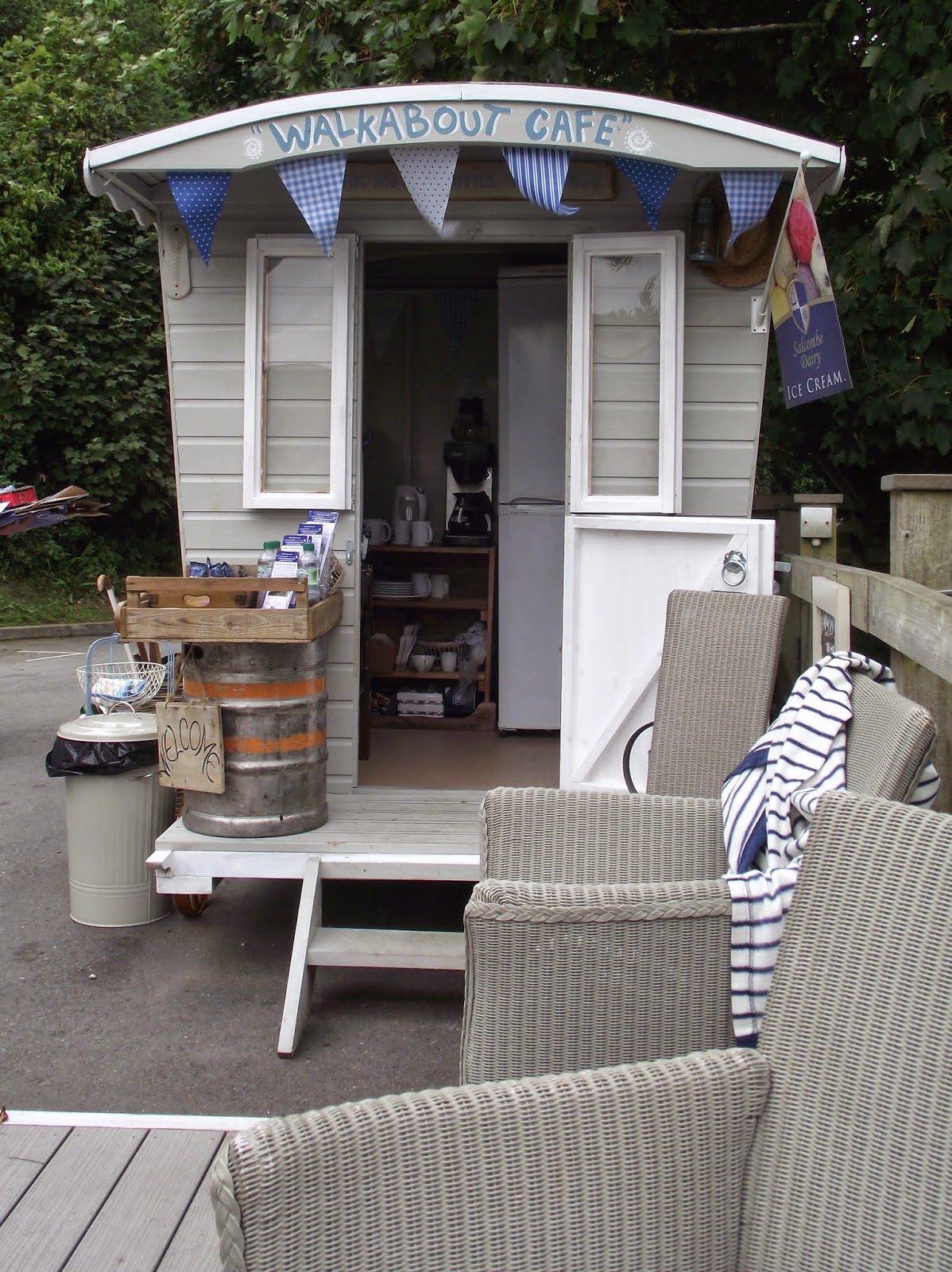
Stopped at a great little "tea caravan" at 12.30 with a very friendly and chatty lady running it. If you're in Salcombe go here!


This was a mere tea prequel for lunch at the Winking Prawns which must have been a gruelling 15 mins walk further. Reasonable enough food but overpriced for what it was. There's definitely some money in the vicinity of Salcombe so it seems to be one of those places where everything's a bit more up market.


Finding the B&B in Salcombe entailed probably as much height gain as the rest of today's walk. Much of the town is back up the hill from the river side. And given that we ended up then wandering round Salcombe, then back to the B&B, then out and back again in the evening I think we added another good few hundred feet onto the day's climb.

Salcombe: A Local Interesting Fact!

YES! Back by (un)popular demand, the local interesting fact!! At Salcombe the "estuary" is actually a ria or drowned valley caused by rising sea levels rather than a true estuary: its size is out of proportion to the few streams which discharge into it. [Wikipedia].

Facts. Awesome eh?


Salcombe is nice but seems to have the same kind of St Ives vibe. Loads of posh restaurants and fancy clothes shops.

Ate at the Victoria Inn in the evening. Another St Austell pub. I think we should get a t-shirt or sponsorship or something. 


Info

Accommodation - Waverley


Location *** a bit of a climb! But nearer to town than many other options.

Room ****

Facilities ****

Noise *****

Food ****

Ambience ****

Price *** £80 for the room.


Food – The Victoria Inn

Quality ***

Price ***

Beer - Proper Job