Wednesday, 4 September 2013
Falmouth to Portloe
Falmouth to Portloe - Wednesday 4th September 2013
Path Facts - Length: 13.7 miles, Ascent: 2398 feet
A good night's sleep. Sprang out of bed at 7am in time for an early breakfast so we could get to the ticket office for 9am and get tickets for the 9.30 am ferry. From Falmouth there's a ferry that takes you across to St Mawes then a much smaller ferry (slightly bigger than a rowing boat) that takes you across to Place where the path is rejoined. One way on both ferries is £9 per person.
Approaching St Mawes:
St Mawes and Place ferries:
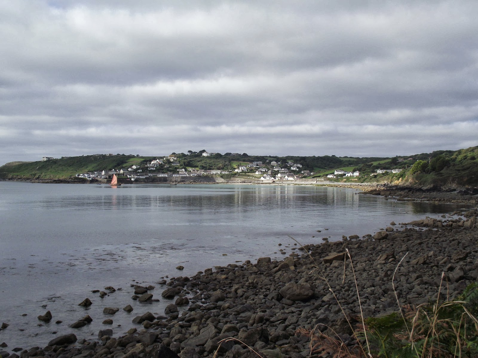
Arriving at Place:
Met another couple of walkers on the ferry who would be staying at the same place as us in Portloe. Portloe B&B would turn out to be the epicentre of coast path walkers.
After the two ferries we didn't really start walking until about 10.30 am, a late-ish start for a longish day.
We passed St Anthony's Head, where there is a lighthouse. This could be seen right back from Porthallow and much more prominently from Falmouth.
These might be Guillemots or Shags. Answers on a postcard.
Great coastline...
... sometimes demands an aerial view.
We saw a couple of kestrels today and a chap who was walking with a bivvy bag. His strategy was to walk until about 8pm in the evening then camp out wherever he found himself. Which last night was in the grounds of Pendennis Castle in Falmouth! If you were going to walk a substantial amount of the path in one go some sort of camping option would be necessary. The logistics, not to mention expense, of booking a huge number of B&B's in advance and ensuring you could get there according to programme would be pretty challenging. The advantage of his way is varying the daily distance depending on how fit you feel. The disadvantages, like waking up in the damp with no hot shower, or breakfast etc.. are a bit of a downside though.
Stopped at Porthscatho, the 6 mile point, for a longish lunch and saw our fellow SWCP walkers take over. The bivvy chap stocked up on a couple of pasties then kept going without barely a pause.
Pendower was the last available stopping point at 9 miles for a quick coffee before hitting the strenuous section of the path towards Nare Head.
Yes there were a few steepish sections but, again, I found the description unnecessarily dramatic. These descriptions are possibly written by older walkers and err on the side of caution for those who are likely to bite off more than they can chew. But today was still fairly moderate compared to some of the early walks we did back at Porlock, Lynmouth and Combe Martin.
Past Nare Head is another imaginatively named "Gull Rock". My path description from SWCPA suggests coming up with a better name. From this angle I'm going for Dragon Rock.
Below shows a nice windy section of path.
Approaching Portloe.
Arrived at Portloe at about 5pm. This is another great place and recommended for a visit. Though there were problems with the popularity with the local pub as we would find out.
The B&B was good. They put us up in the overflow room with a shared bathroom which was perhaps not ideal but was probably the only option for a twin room available so can't complain.
Dinner at The Ship Inn. Probably should have gone a little earlier as they were fully booked. We ended up eating in the garden in the waning light and dropping temperature. Still, good food and beer and a small austerity compared to the chap sleeping in his bivvy bag who was no doubt still walking after we had finished eating and would be yet to enjoy his cold pasty for supper.
Info
Accommodation - Carradale, Portloe
Location *** A bit off the path but fine
Room ***
Facilities ***
Noise ****
Food ****
Ambience ****
Price **** £55
http://www.carradale-bnb.co.uk
Food – The Ship Inn
Quality **** more goat's cheese but good grub
Price ***
Beer - Tribute ****
The Walker's Strategy Section
Elevation from Falmouth to Portloe:
Tuesday, 3 September 2013
Gillan to Falmouth
Gillan to Falmouth - Tuesday 3rd September 2013
Path Facts - Length: 16 miles, Ascent: 1600 feet
Well it's debatable how you calculate the distance for today. There are 3 miles or so of coastline in Falmouth so depends where you measure it to. From Gillan to the B&B was about 13.5 miles then we tacked on a jaunt around Pendennis Point in the PM which is about 2.5 miles. Sounds like a really long day but it wasn't that challenging and fairly flat.
A somewhat relaxed breakfast and headed off at about 9 am. Over the last couple of days Andy had been intent upon crossing Gillan Creek rather than walking round and asked a number of people on route. It's apparently possible to cross an hour either side of low tide using stepping stones or wading across. There was also apparently a ferry but only when the tide is high. One typical conversation with a local went like this.
Andy: Is it possible to cross Gillan Creek?
Local: Yes, no problem
Andy: Would you do it?
Local: Oh God no!
So long story short, we took the inland path which started off across the corn fields like a scene out of Lord of the Rings.
The path around Gillan Creek is actually good walking and recommended. Mostly wooded, quiet and lots of wildlife.
We set a good pace, knocking off the first 5 miles to Helford by about 11 am in time for elevensies.
The ferry is signalled by a user operated board that is opened up to reveal an orange dot that can be viewed from Helford Passage on the other side of the river. £4 each one way.
Helford Passage:
Stopped at Maenporth for lunch at a beach cafe. Still plenty of beach goers despite it being September and a weekday. Look at the weather though.
Arrived at Gyllingvase Beach on the edge of Falmouth and not far from our B&B. Ice cream and a chill out in shady corner of the park were in order.
Went to the B&B and again dropped our packs off, washed up and then walked the 2.5 miles around Pendennis Point.
The shipwrecked fishing boat we'd seen on Day 1 had been transported to the docks at Falmouth.
From our evening jaunt we went straight into Falmouth for food at a Pizza Express with a very good view over the harbour.
Info
Accommodation - Braemar Guest House
Location ****
Room ***
Facilities ***
Noise **
Food ***
Ambience **
Price *** £70 for the room
http://braemarguesthousefalmouth.co.uk
Food – Pizza Express
Quality ****
Price ***
Walkers Strategy Section
It had been fairly warm 22 deg C - ish for the last few days and quite humid. Daily washing of clothes becomes necessary and I regret trying to walk in the heavier of my two walking trousers which I think developed their own internal climate which I wont overly elaborate upon. Probably need to better consider the requirements for warmer and cooler weather on the path. It was freezing back in April and the kit requirements were rather different.
Elevation from Gillan to Falmouth (not including Pendennis loop):
Monday, 2 September 2013
Coverack to Gillan
Coverack to Gillan - Monday 2nd September 2013
Path Facts - Length: 7.5 miles, Ascent: 1750 feet
Very short day today due to logistical difficulties in finding accommodation in or around Helford. So short one today followed by epic ventures tomorrow and the next day.
Awesome light first thing in the morning. Apparently Coverack is popular with painters for this reason. Had breakfast in the Paris surrounded by the sea. Set off about 9 am. Not much open in Coverack at this time. We were hoping to mooch about for a bit due to the short day walking.
Lowland Point looking back at Coverack:
The path goes through the edge of the disused Dean Quarries.
More woodland.
These are the Giant's Quoits which were moved from their original site in the 1960's because of mining operations.
This is Porthoustock. There is still a working quarry here and a nearby MOD outpost hence some stretches of the path today were inland. Porthoustock is allegedly pronounced Prowstock by the locals. I'm beginning to get the rules of local pronunciation. They go like this:
- transpose "or" as "ro" (except when you don't)
- lose a syllable occasionally
After Prowstock is Porthallow (Prowlow?) which is.. trumpets, dancing girls, fireworks... the official halfway point of the SWCP. So we just need to do all of the aforementioned... again!
Stopped at The Five Pilchards in Porthallow for a rather good sandwich.
Good views today extending right out toward the next few days walking and allegedly to Rame Head just before Plymouth and hence almost at the border of Devon again. By the end of the next trip we would have completed the Cornish stretch of the path.
In the background is Pendennis Point and Castle which look pretty near but there's the Helford River to do before this and hence quite a detour.
This is Nare Point where there is a Coast Watch station which we were invited into to have a browse and a chat. There is some info and a video interview with one of the staff here which explains better than I could what they do.
Got to Gillan before 3pm even after taking it very easy and slowly today. Very different sort of scenery around Gillan and Helford.
Having had an easy day, we dropped our packs off at the B&B, washed up and walked inland across to Helford for food in the evening (approx. 3 miles). The only nearer pub in Manaccan wasn't doing food. The B&B kindly offered a taxi service to bring us back in the evening.
Info
Accommodation - Porth Vean B&B
The room is in a detached building with en-suite. Basic but perfectly fine.
Location ****
Room ***
Facilities ***
Noise *****
Food ****
Ambience ***
Price **** £50 for the room
Food - Shipwrights Arms, Helston
Quality ***** Goat's cheese
Price ***
Beer ***** Doom Bar
Walkers Strategy Section
Coverack to Gillan elevation:
Labels:
Coverack,
Gillan,
Half Way Point,
Helford,
Leg 7,
Porthallow
Subscribe to:
Posts (Atom)